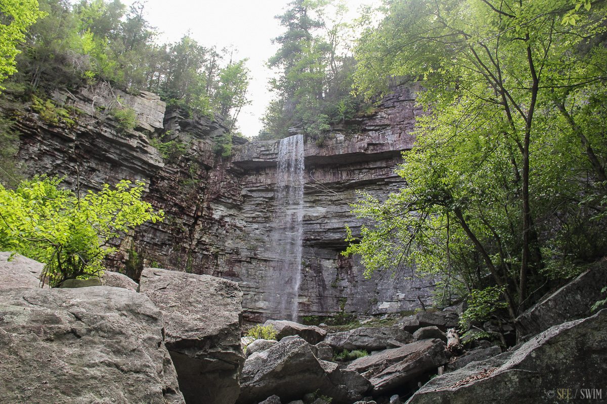

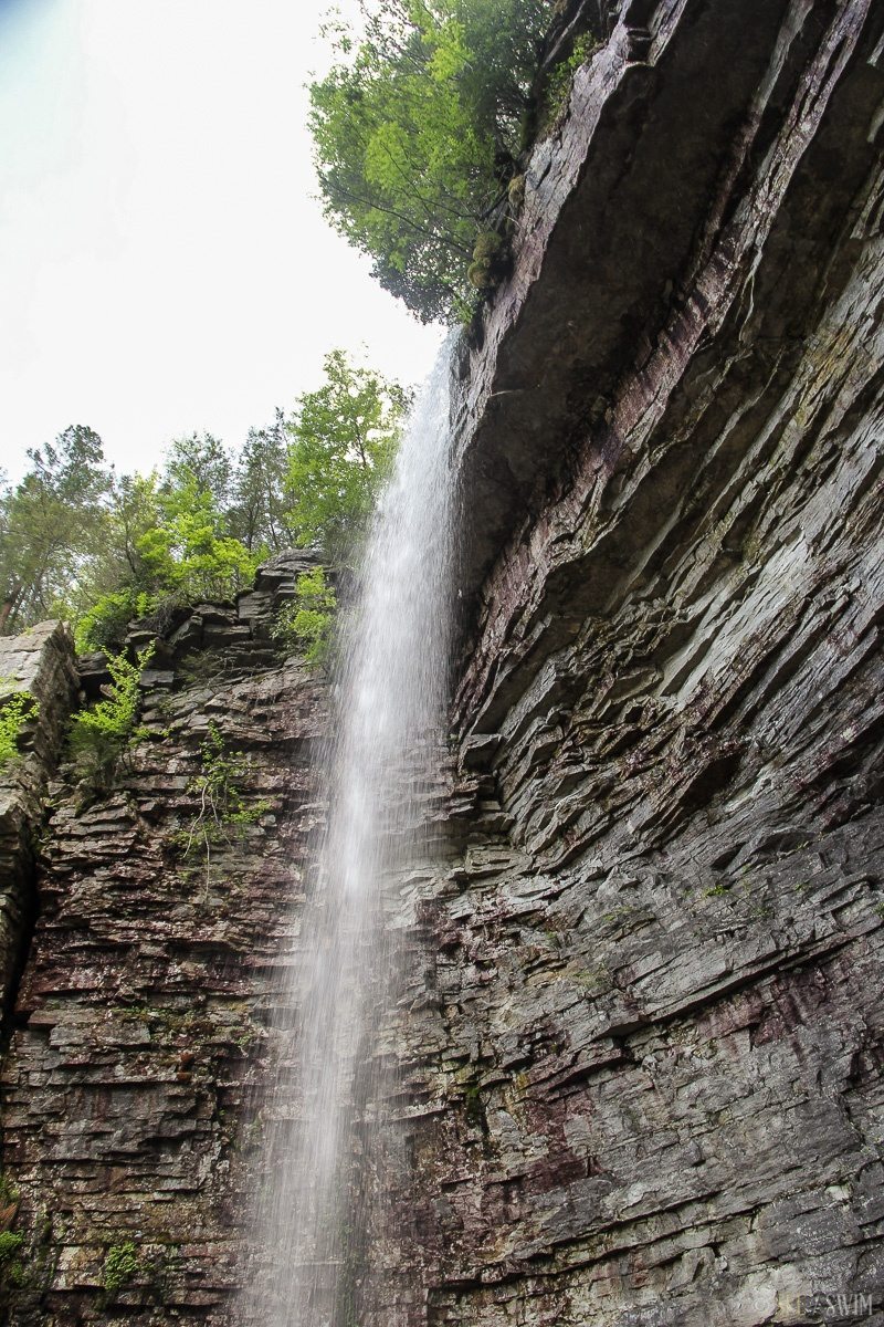
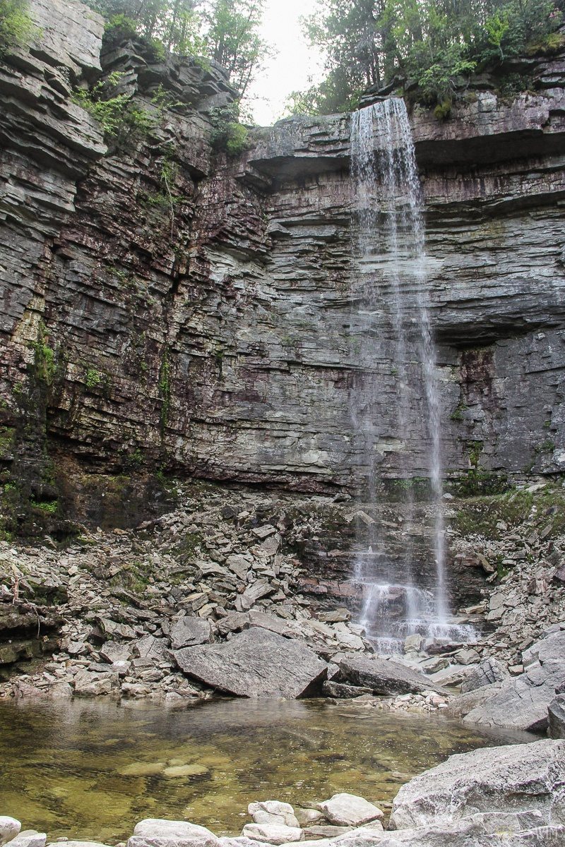
Stony Kill Falls
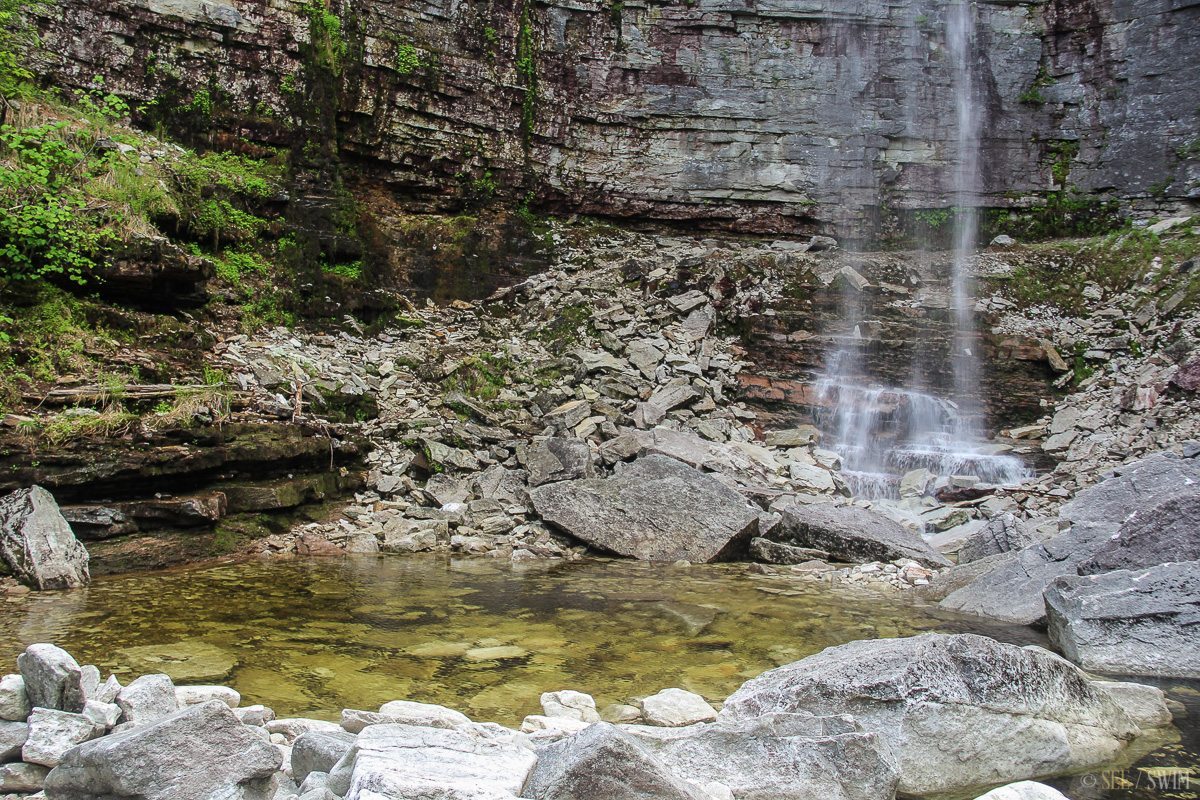
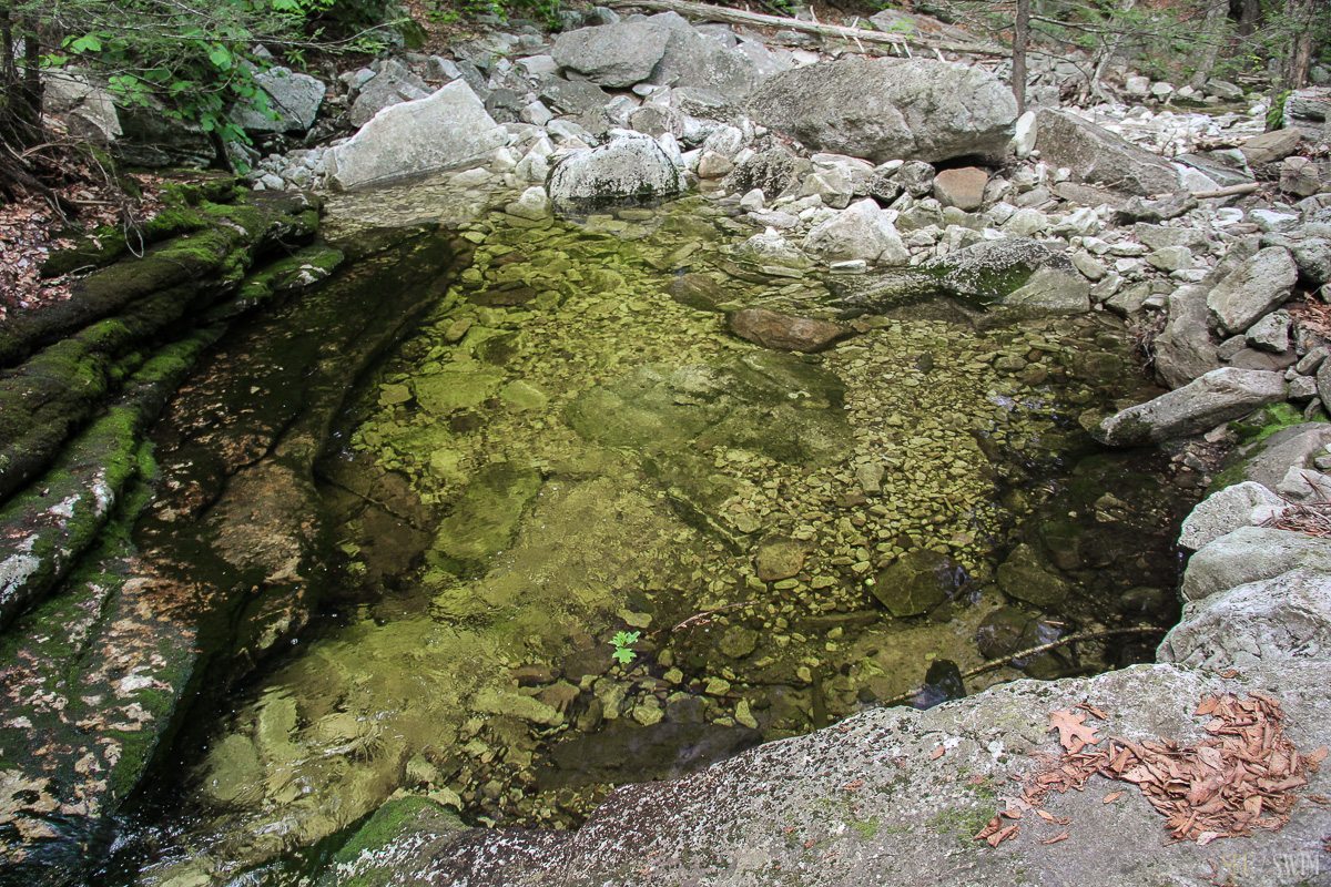
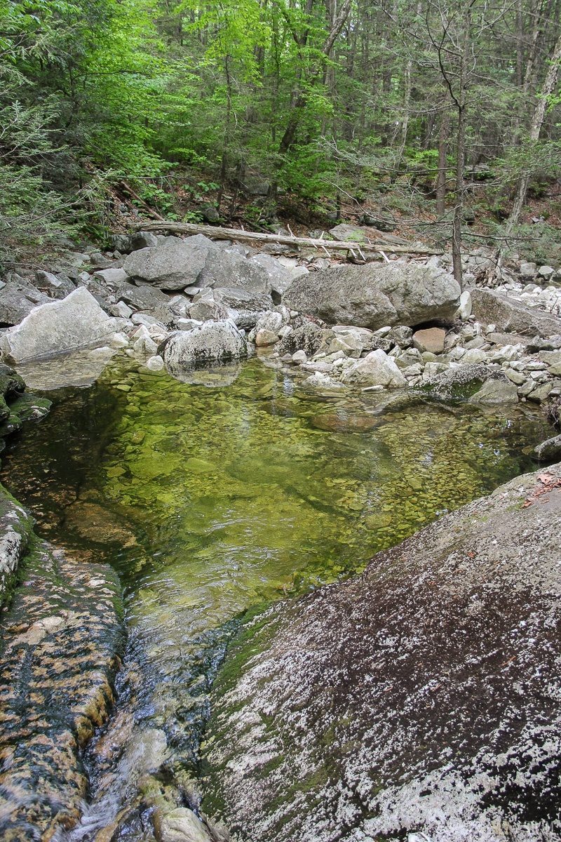
This is a spectacular waterfall, flowing off of a high ledge and down into shallow green pools. Multiple sources say there is a swimming hole at the top of the falls, but we couldn’t find the trail to it. We went directly to the lower fall and couldn’t find trails from there, as they were all very steep and had a lot of fallen trees. There might be a trail behind the power station.
Wikipedia has a picture of the upper swimming area http://en.wikipedia.org/wiki/Stony_Kill_Falls
To get here: From the Minnewaska State Park Main Entrance (Hamilton Rd), continue west on RT 44 about 4.25 miles and turn left on Minnewaska Trail Road (opposite Lower Granite Road) and then take an immediate left onto Rock Haven Road. Go 1.9 miles on Rock Haven Road, and then bear left onto Shaft 2A road. This is marked on a street sign but it is spelled SHAFT II A. Follow it to the end (about .3 miles) and you’ll see a closed gate, likely with cars parked alongside. You aren’t technically allowed to park here, but the park ranger told us that you are allowed to go to Stony Kill Falls. If you don’t block the gate with your car you will hopefully be okay parking here, but we aren’t sure.
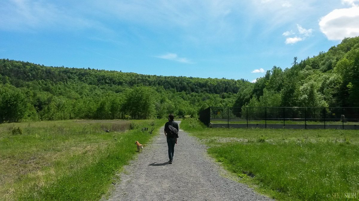
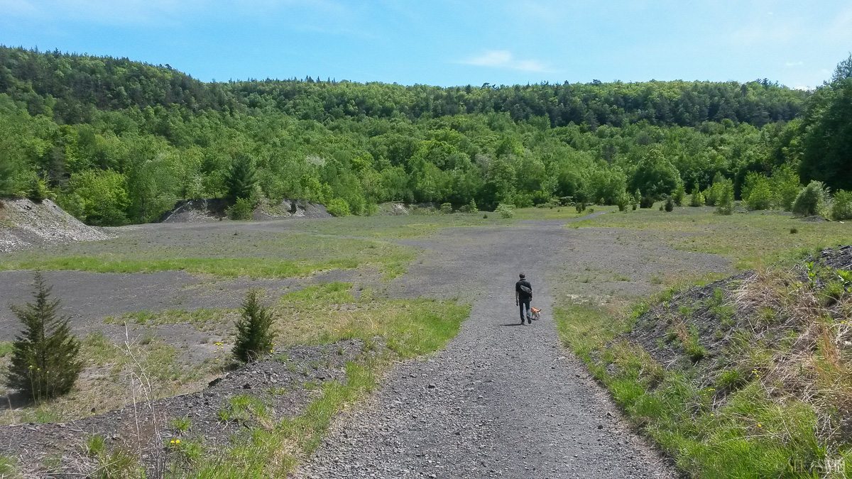
Walk around the gate and straight down the road, and in about 2 minutes you’ll see a fenced in area on your right, and a helipad on your left. Continue going straight for a minute and you’ll come to an old gravel pit. Continue straight through the gravel pit and the trail is ahead of you. This is a short trail that leads to the falls, though you have to climb some large boulders to get to the base of the falls.
A park ranger warned us of snakes at the location.
Location Details
- 20 min.
- +41 44.034, -74 17.740
- Easy/Moderate

Location Tags


