Stone Valley Colton
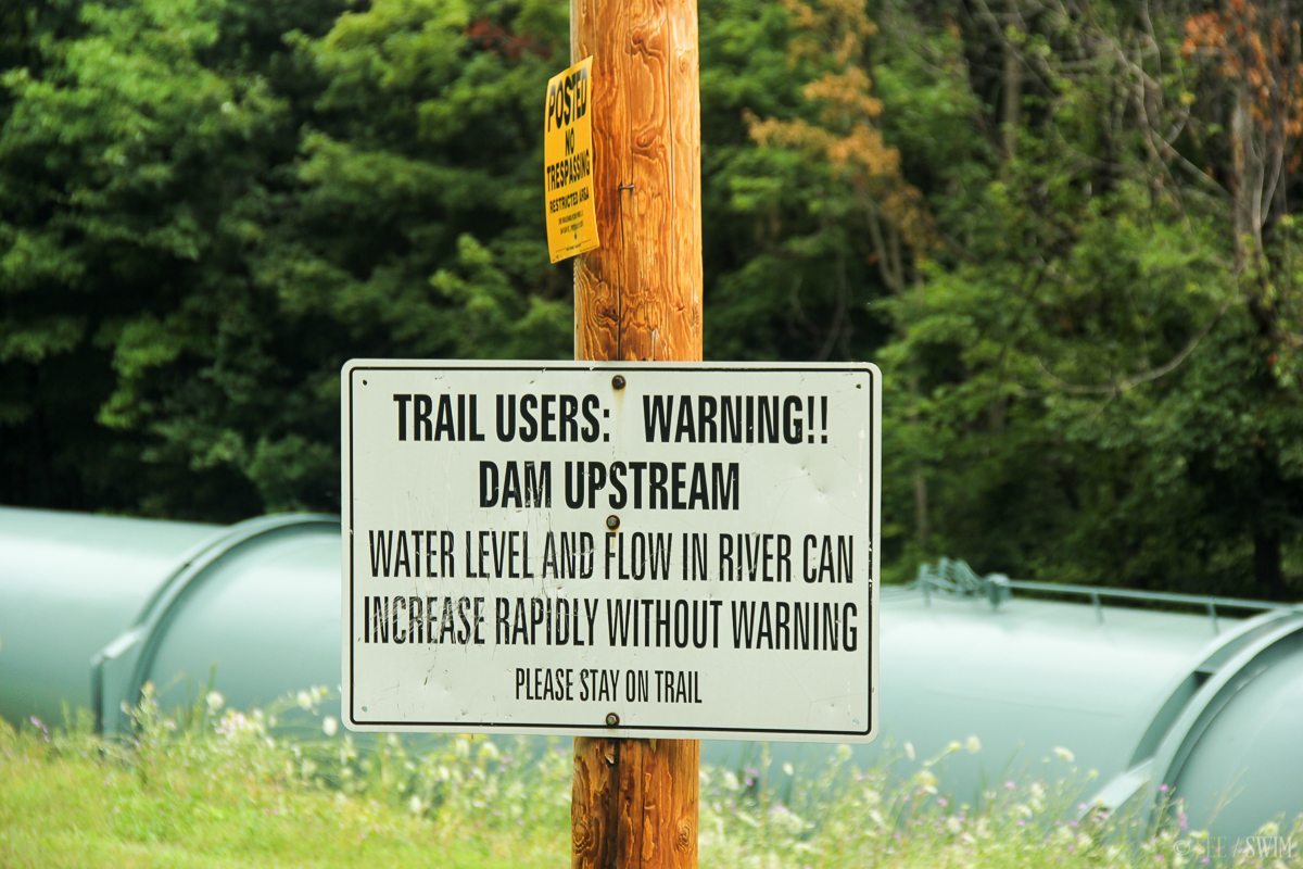
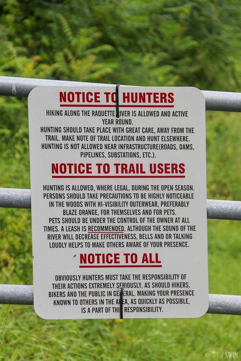
This is an official trail that follows the river along side a dam release. There are sirens and warning signs all over, so you have to be careful when they release the water as I’m sure the surge happens quickly and could be deadly. It would probably be best to ask a local before venturing into the river.
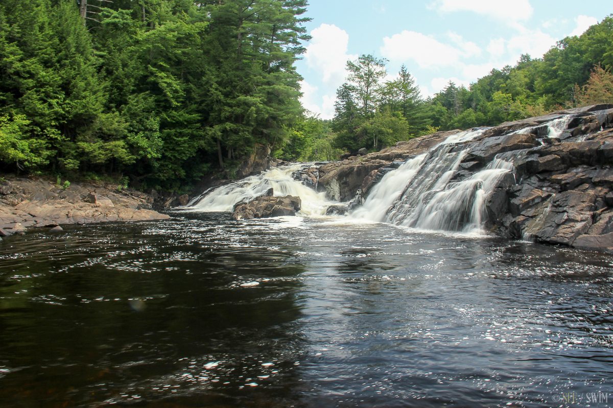
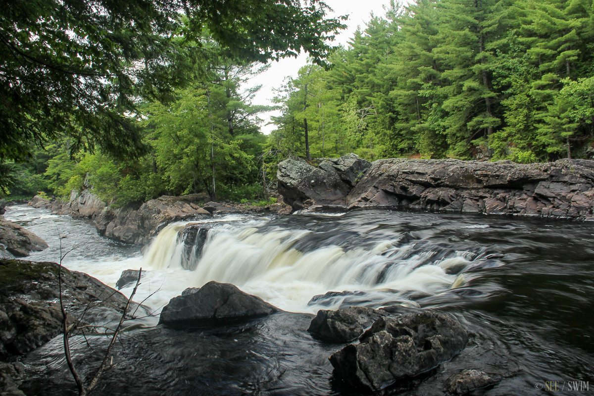
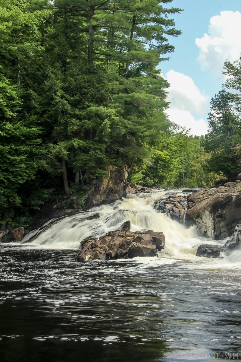
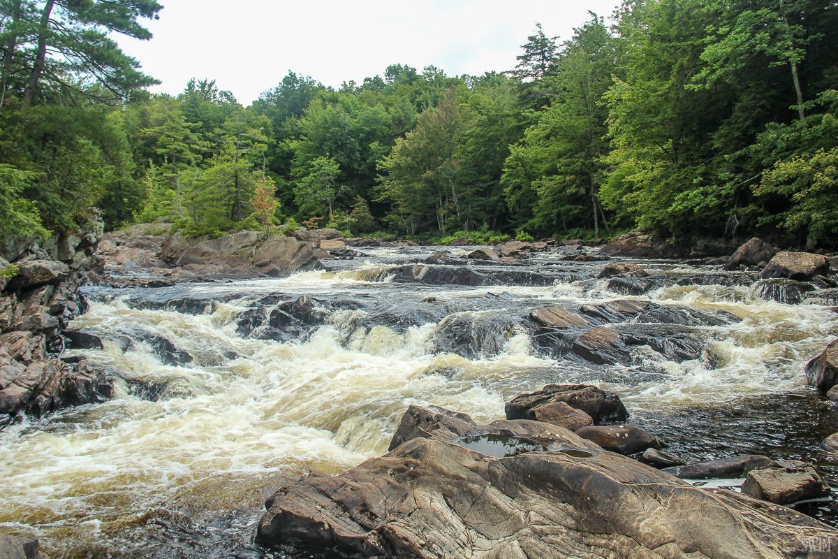
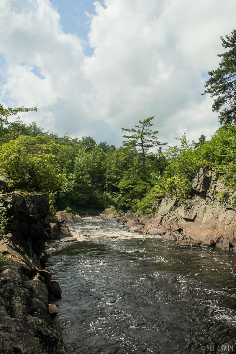
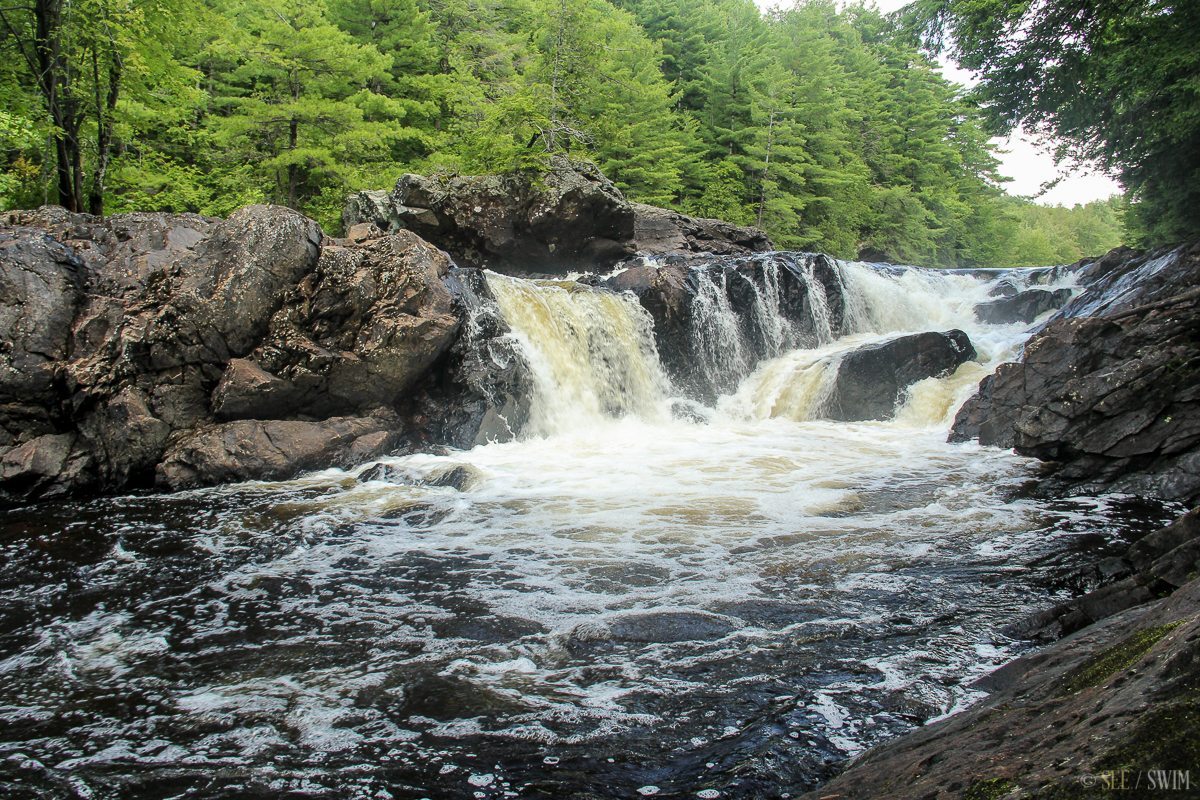
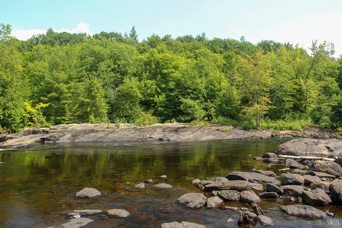
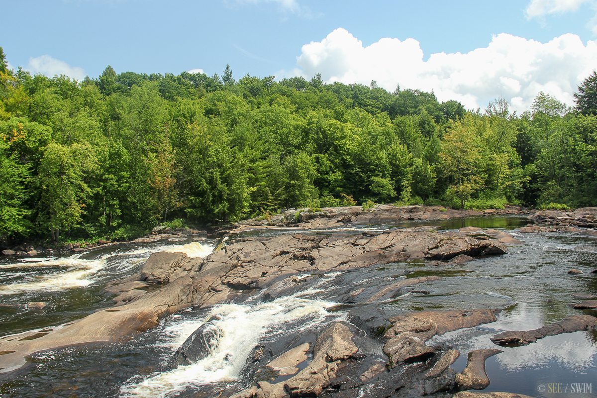
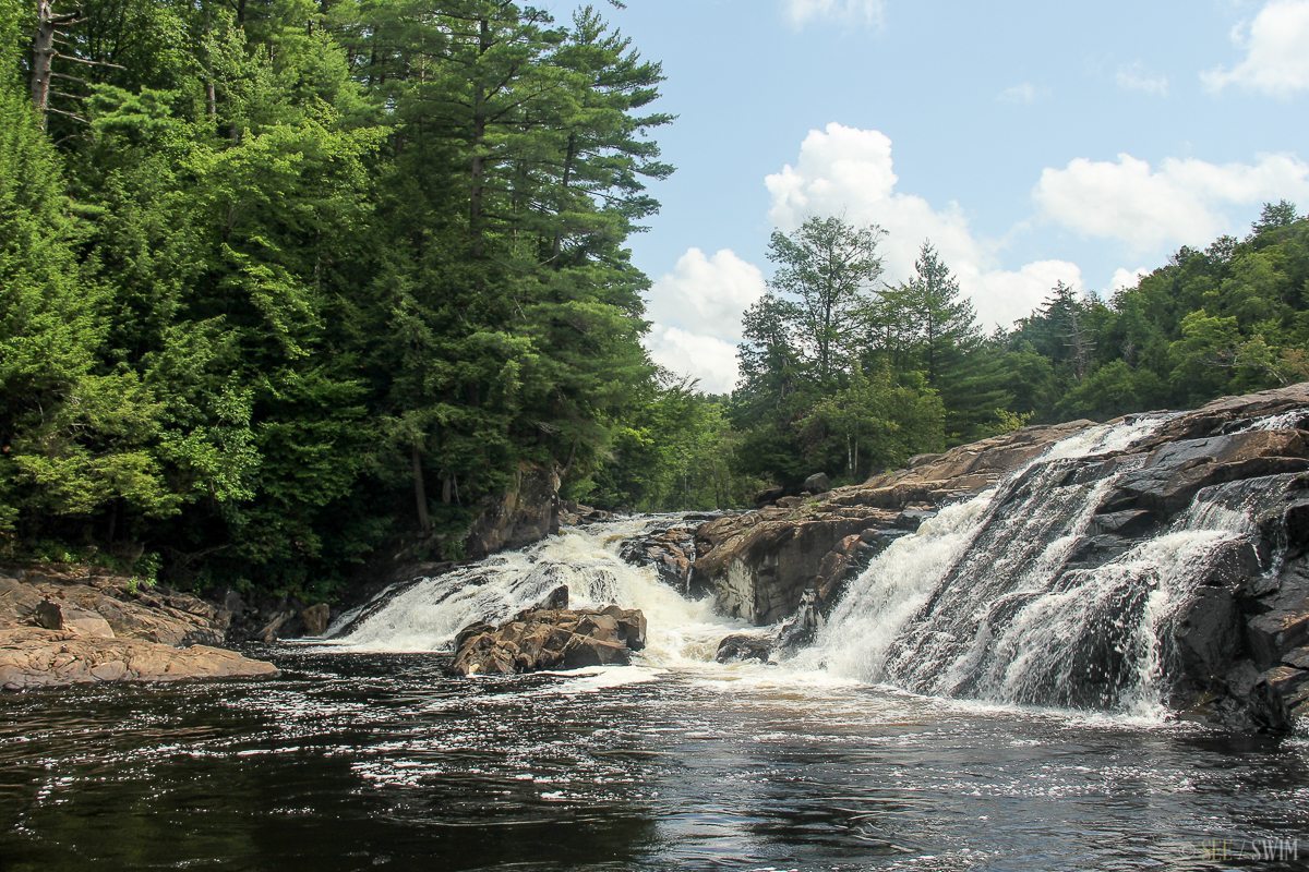
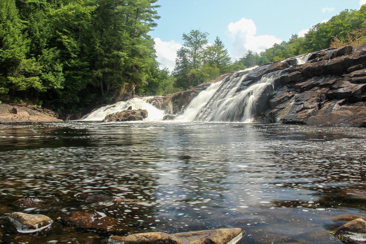
There are multiple falls that you could possibly swim in, probably the large pool at the end of our hike (about a mile) is safest. This last pool is about at 20 ft fall emptying into a large deep pool. The whole river is scattered with interesting places to swim, from cascades to deep pools to flumes, but use your caution and discretion. When we were there the water was flowing hard, but only about half of the riverbed was covered in water, I assume this is fairly normal, and it provides lots of places to climb around and swim in. However, I’m not sure how they control the supply of water, so it may dry up at times or may be a raging river during the releases. The water was dark but very clean and refreshing. It was surprisingly warm for how big the river was and the fact that I’ve read it’s all mountain runoff. This is really a great location due to the fact there were not many people, lots of places to swim and relax and it was pretty clean throughout.
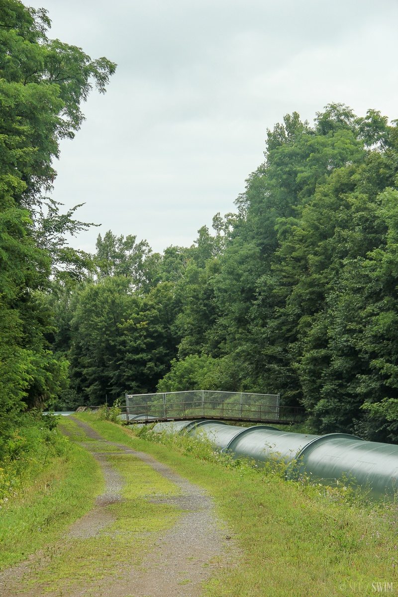
Park in the small lot on River Rd, a quick left just before the bridge on Main Street. There is a bar sitting along the bridge on the other side of the road. From here walk down path to a gated road that warns of hunting in the area. Go through gate and follow the pipe a few minutes to a very narrow bridge that goes over the huge green pipe. Take the bridge and follow the easy trail down with the river on your right. There a multiple places to turn off and see the river, though a lot of the views from the trail are obscured by trees. To get to the very bottom fall is probably a little over a mile. There is also a trail on the other side of the river, but this side has better access. The sign at the front of the trail that is almost completely obscured by vines says that this trail is 3 miles long, so there is a possibility that it is a loop, but we’re not sure.
Location Details
- 10-30 min.
- +44 33.243, -74 56.314
- Easy-Moderate

Location Tags


