Spier Falls Road
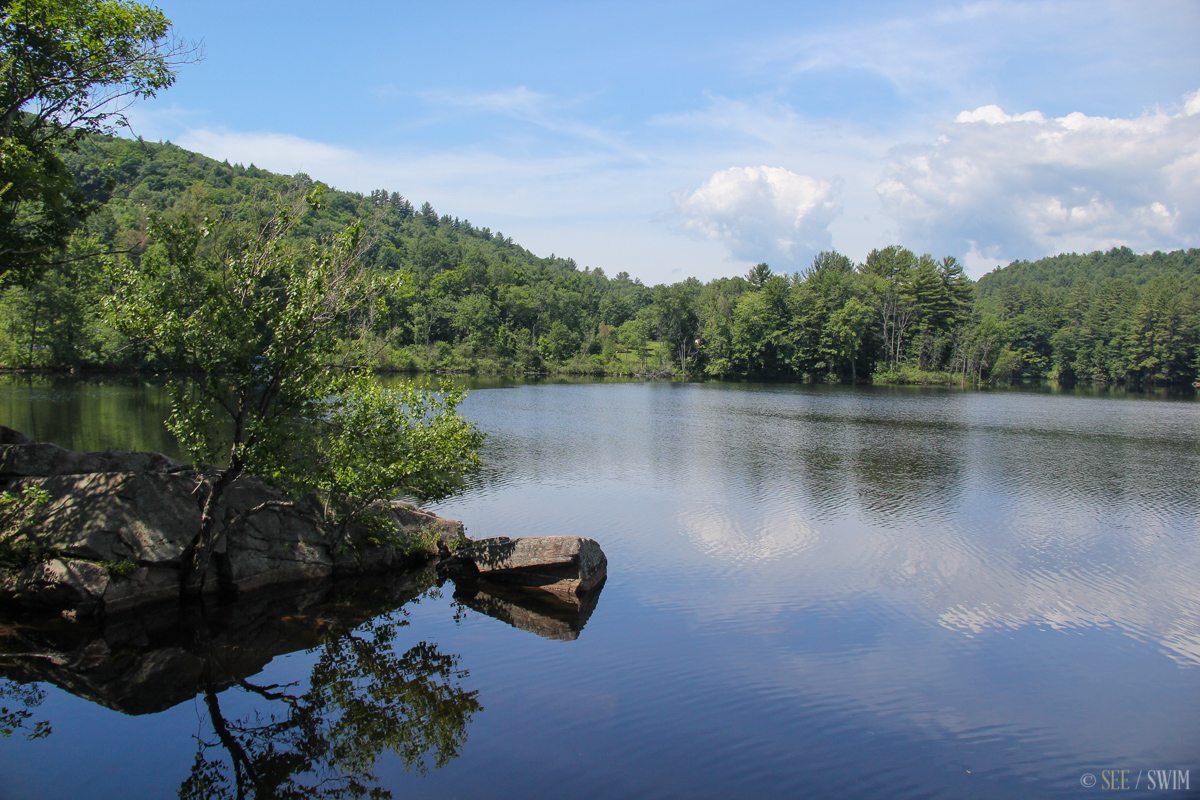
The parking area is hard to see as you’re driving along, so our GPS is from the dam as it is the easier landmark to locate. The parking area is a small pull off on the left hand side, south of the dam on Route 24, but before the sign marking the state owned boat launch called Sherman Island. It is before the road curves around as it follows the river, and there is a sign that says”Fallen Rock Zone” at the lot. From the parking area, cross the road, and follow the path down to the water.
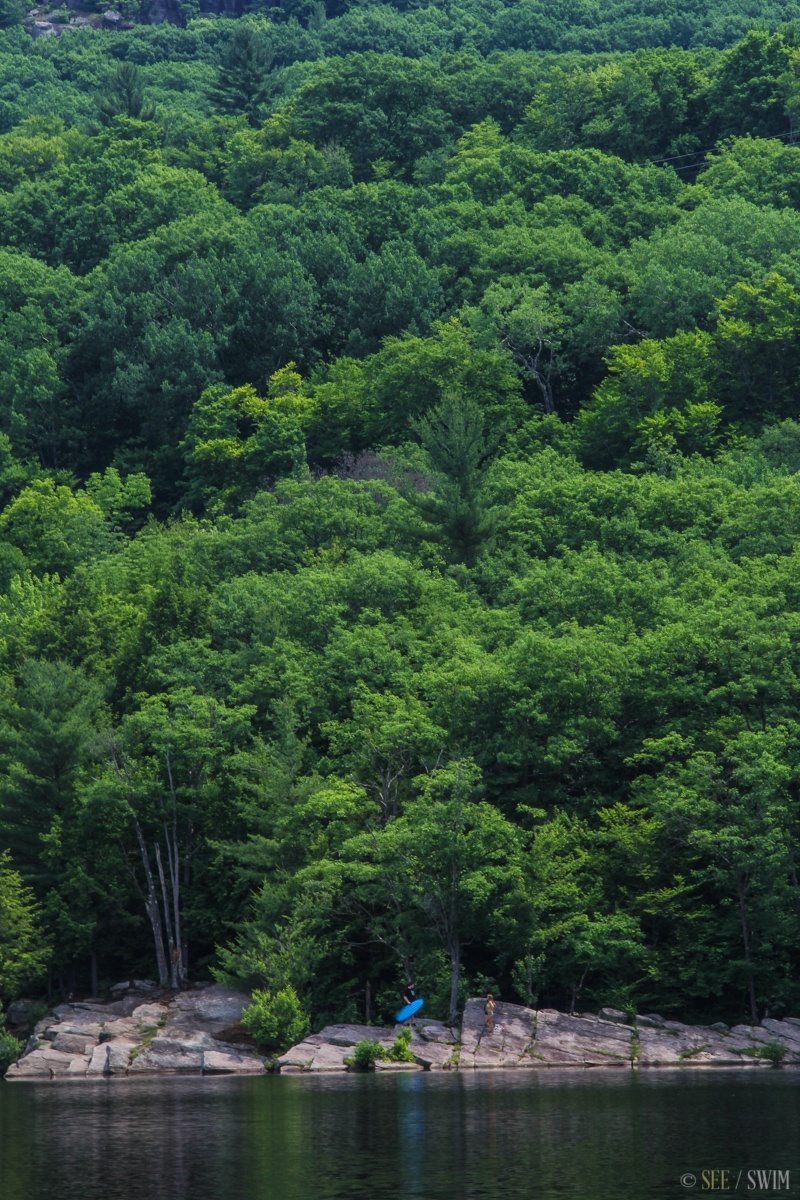
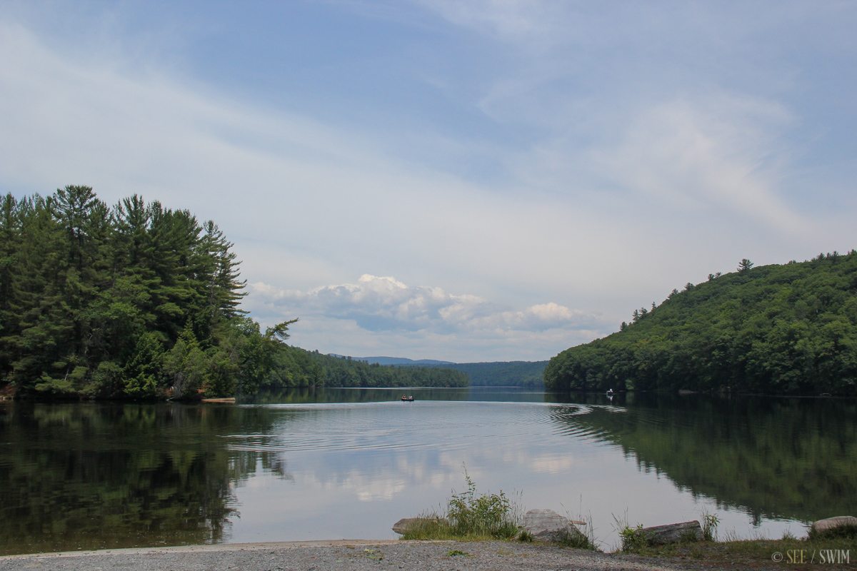
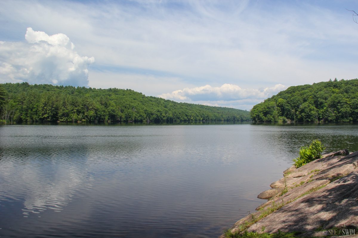
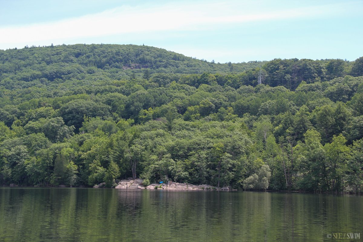
This is a known as a swimming hole, and swimmers were present. According to Google maps the swimming area is on state land, though swimming is likely unofficial. This area appears to be part of Moreau Lake State Park
Location Details
- 2 min.
- +43 13.264, -73 45.872
- Easy

Location Tags


