Shanty Brook
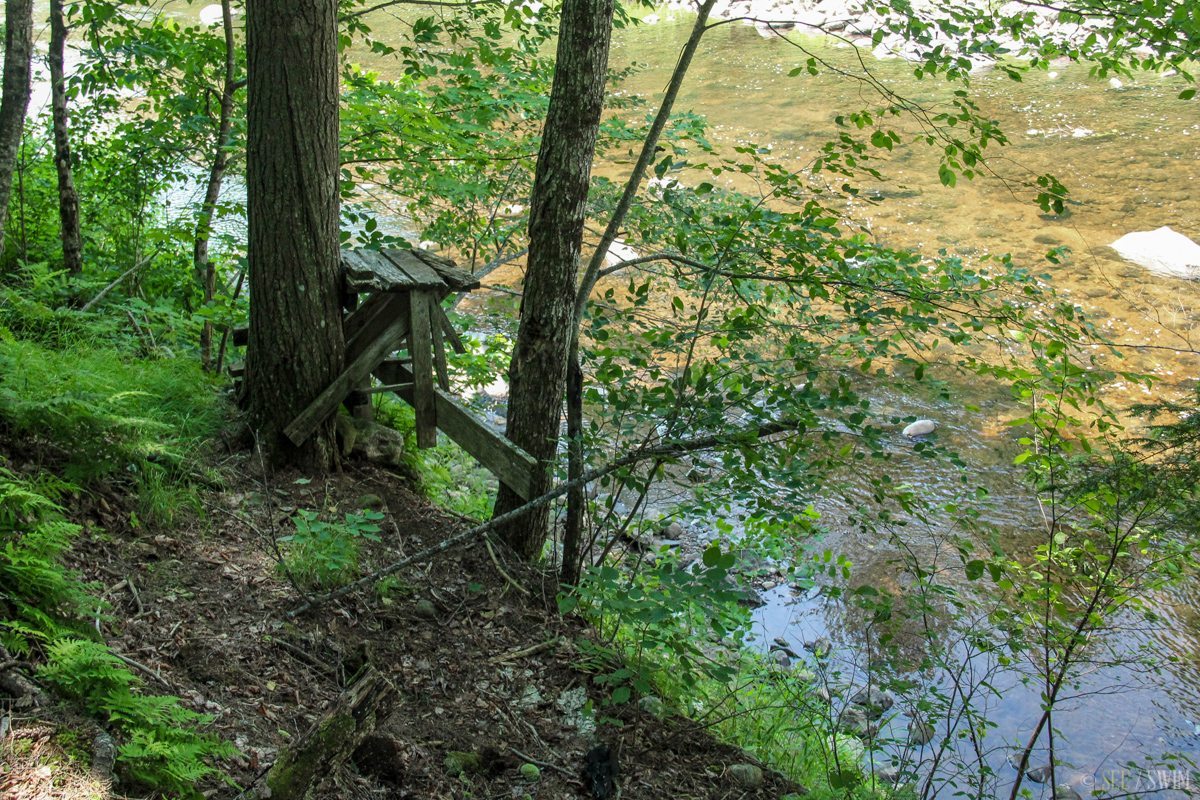
The parking area for Shanty brook is on Route 8, 8.9 miles north from the junction of Route 8 and Route 30. It is a fairly large parking lot, but it can be hard to spot because there is tall grass blocking it from view. The lot is shaped like a half circle and has two entrances, so if you think you miss the first, just turn into the second. Cross the road and head Northeast from the parking lot until you see a dirt road that leads to a primitive campground. Right before the camping area on this dirt road you’ll see where there used to be a cable bridge spanning the river. Ford the river here (if it is safe to do so), and on the other side you’ll find a path. The path follows Shanty Brook, and leads to the fall, but has a lot of offshoots and it can get confusing and hard to follow at times. On the way back I decided to just follow Shanty Brook down, rock hopping back to the main river. I’m not sure which way was easier, but following the brook was definitely less confusing.
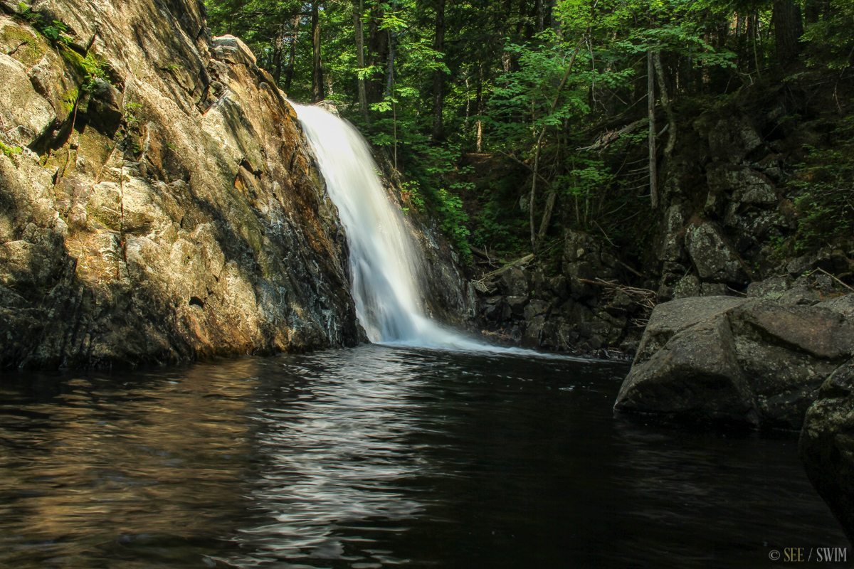
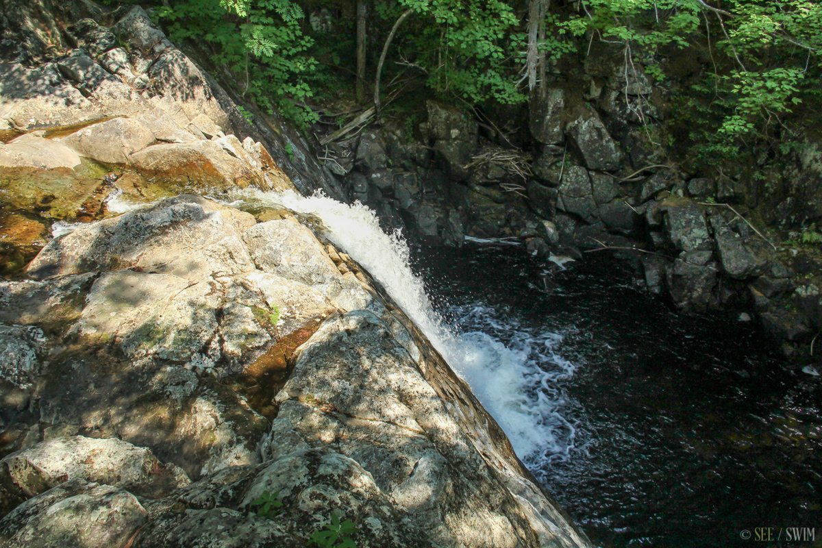
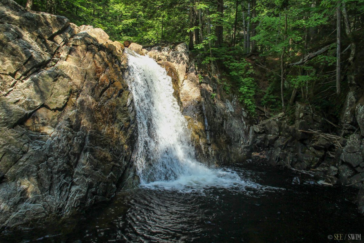
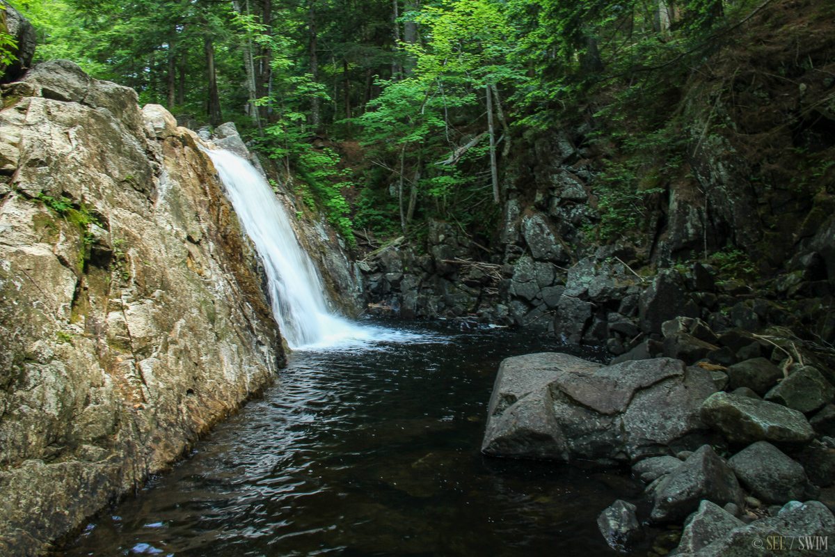
The fall is about 12 feet high and spills into a small gorge. It was a small pool at the bottom with clear water. We were told that due to it’s remote nature, it’s a known spot where nudist go swimming.
Location Details
- 30 min.
- +43 32.147, -74 08.481
- Moderate

Location Tags


