
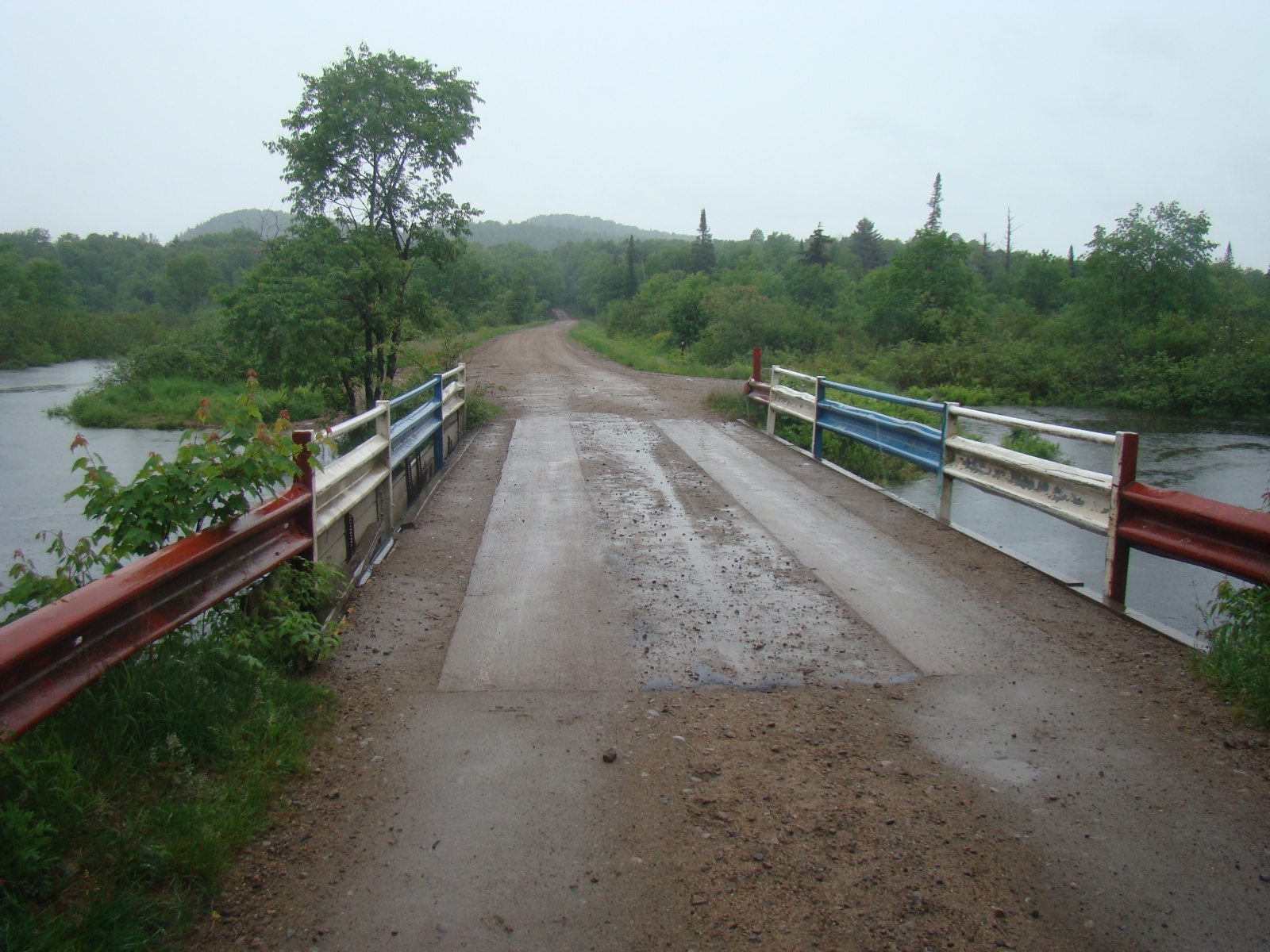
Red White and Blue Bridge
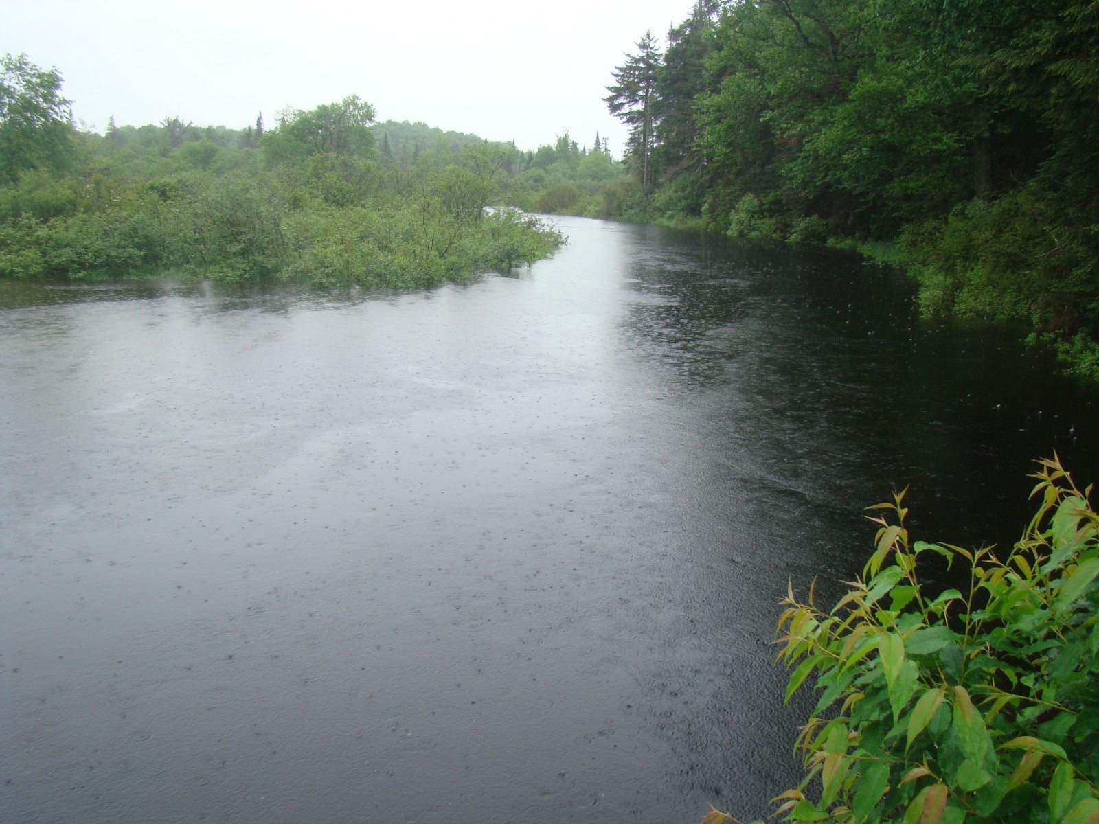
We were told about this location by locals, and we don’t know the safety of swimming here. They told us people jump off the bridge into the stream.
This is at the end of a dirt road, and it is unclear if it is private or not. There is a trail sign with a map though, so it could be public access. From Old Forge, take Route 28 and turn onto North St. by the Subway Restaurant. North St. turns into Carter Road, and the road turns into dirt, and ends at the bridge. From Route 28 it is 1.4 miles down North St.
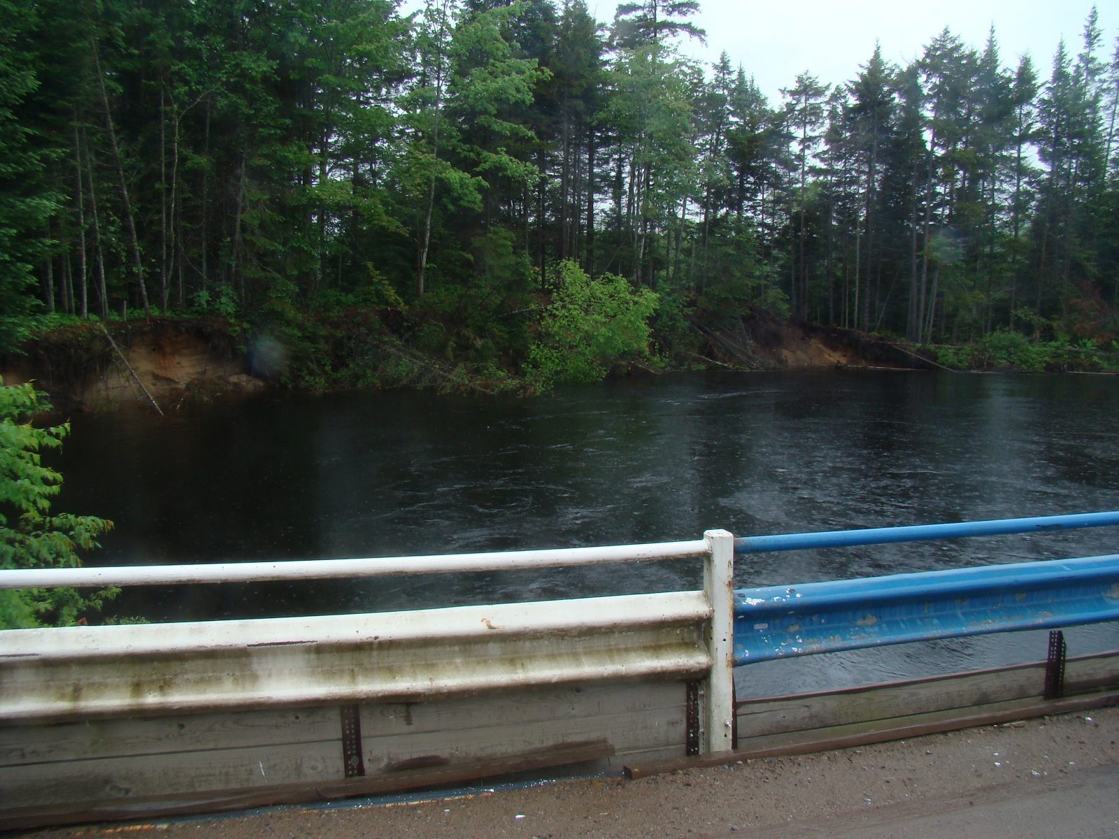
The river may not look like this normally, we came after a lot of rain and some local flooding.
Location Details
- 0 min.
- +43.733885, -74.968972
- Easy

Location Tags


