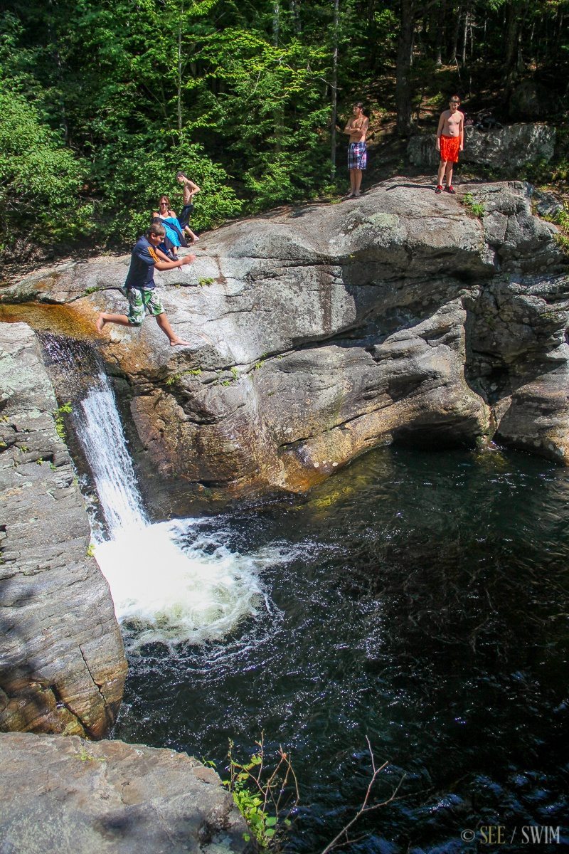
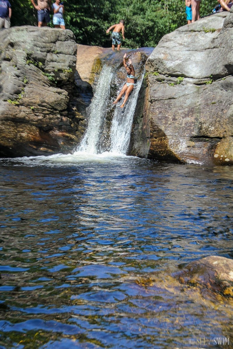
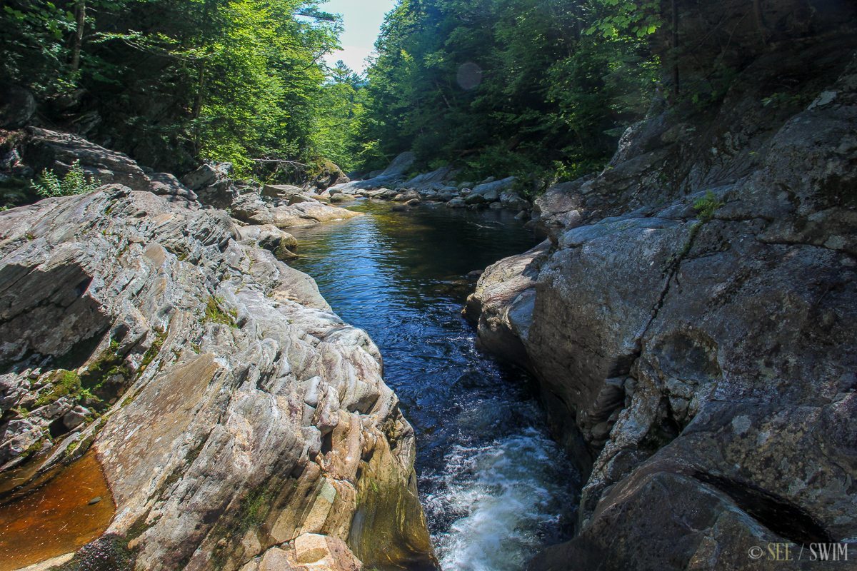
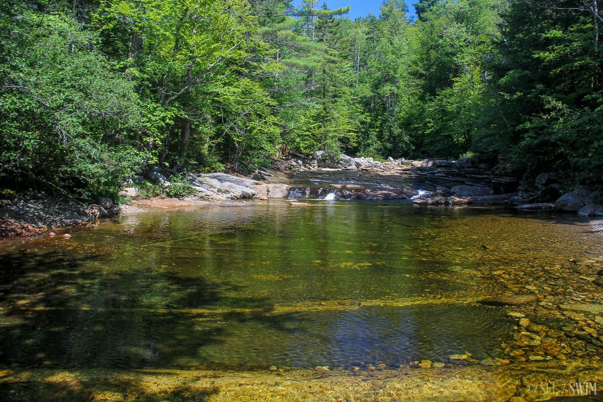
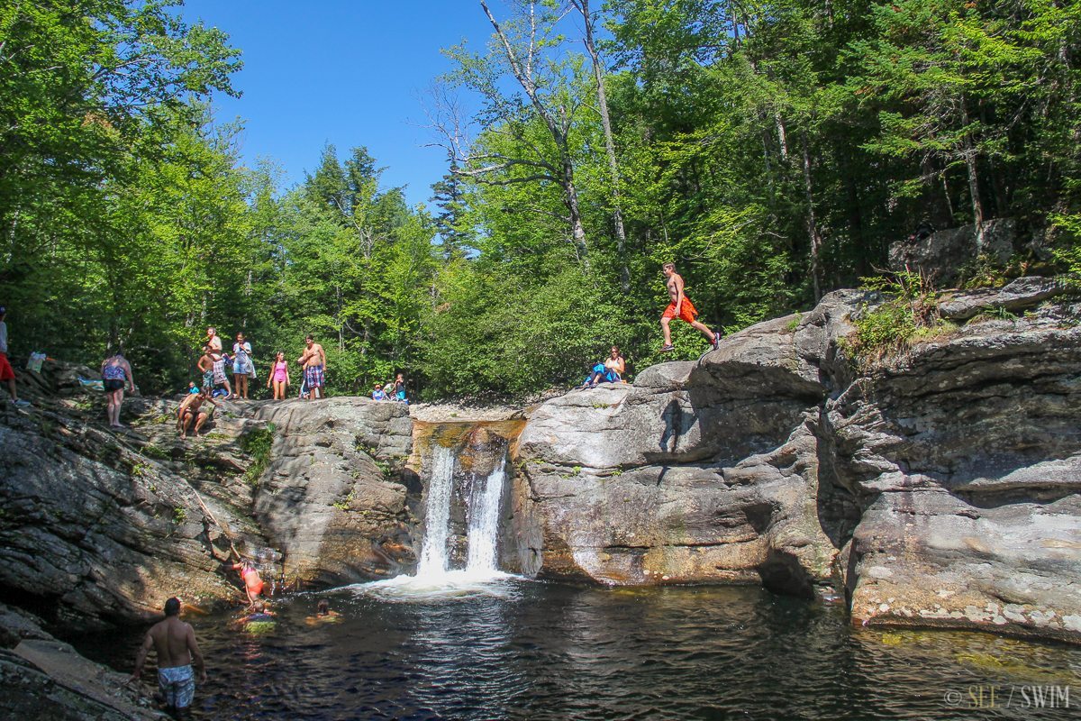
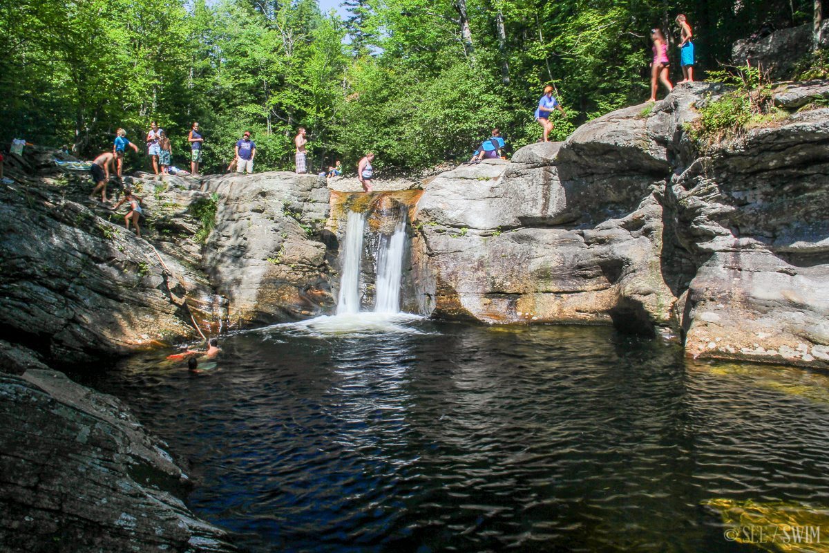
Frenchman’s Hole
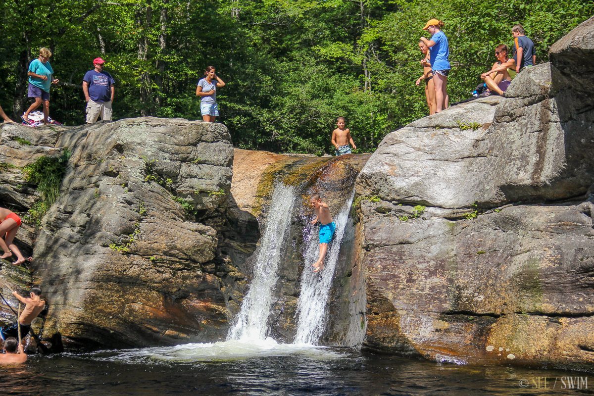
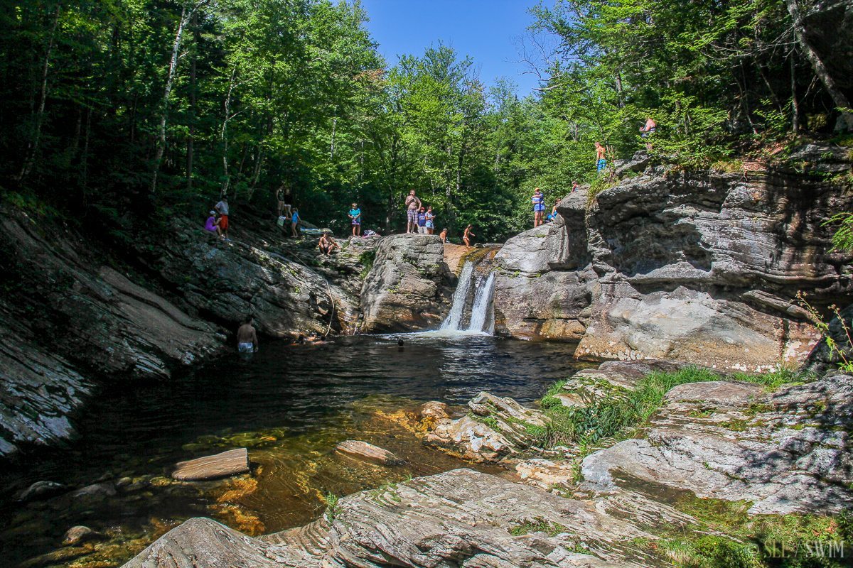
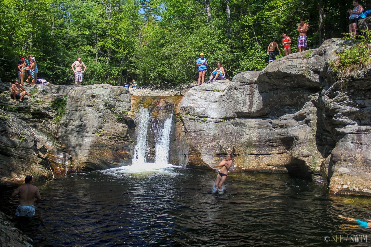
Coming from the south on the Sunday River Road, the road will veer left to pass over two bridges. This is a little confusing, because this short section is variously called Two Bridges Road or Coburn Field Road, but it becomes Sunday River Road again immediately after the bridges. After the bridges, take your first right. On Google maps this is called Bull Branch Road, but it might not be marked. On this road you should see a small sign with a swimming icon that says,” .5 miles,” and a larger sign that says, “Mahoosic Public Land.” Continue on until you see a small parking lot on the left. Park and walk back down the road from the way you came, and you’ll see a couple of picnic tables, and then a line of rocks. There is a stone staircase here going down to the upper pool of the waterfall.
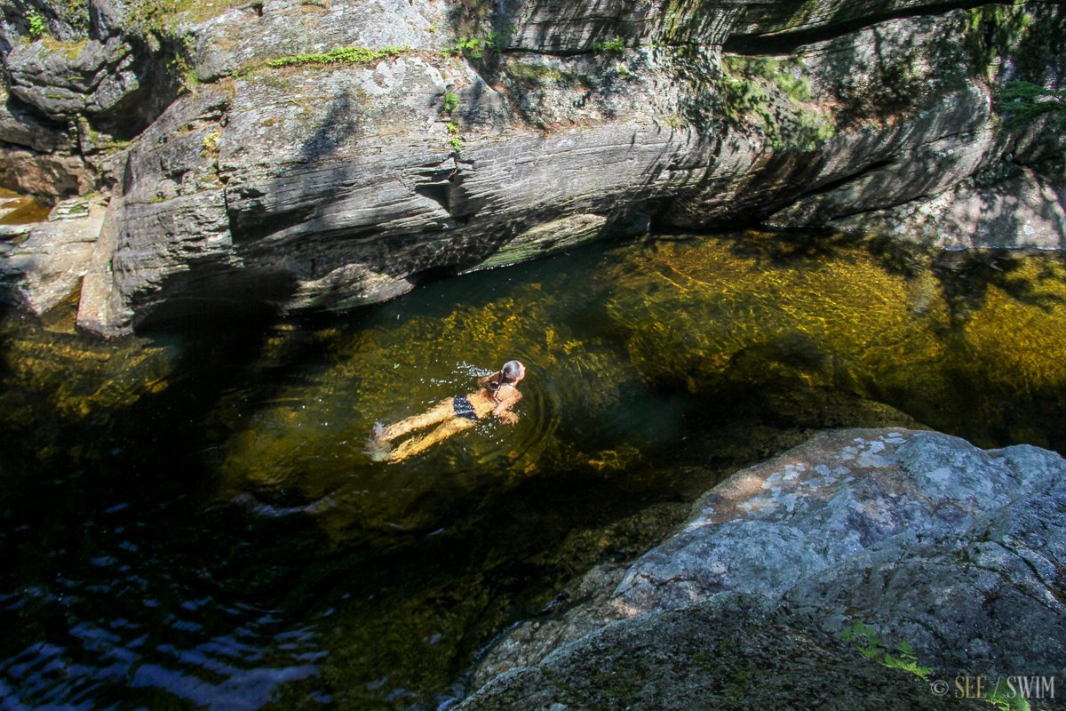
Most people were jumping from here, and then climbing up a rope to get back to the top, but you can also climb down the sides of the fall to access the pool below. This is a gorgeous location, though it can be crowded, since swimming is allowed. There is an out house in the parking lot, but no ranger station.
More directions here:
http://www.yankeemagazine.com/best-of-new-england/best-swimming-holes-in-new-england#_
Location Details
- 5 min.
- +44 30.672, -70 55.164
- Easy

Location Tags


