

Copperas Pond
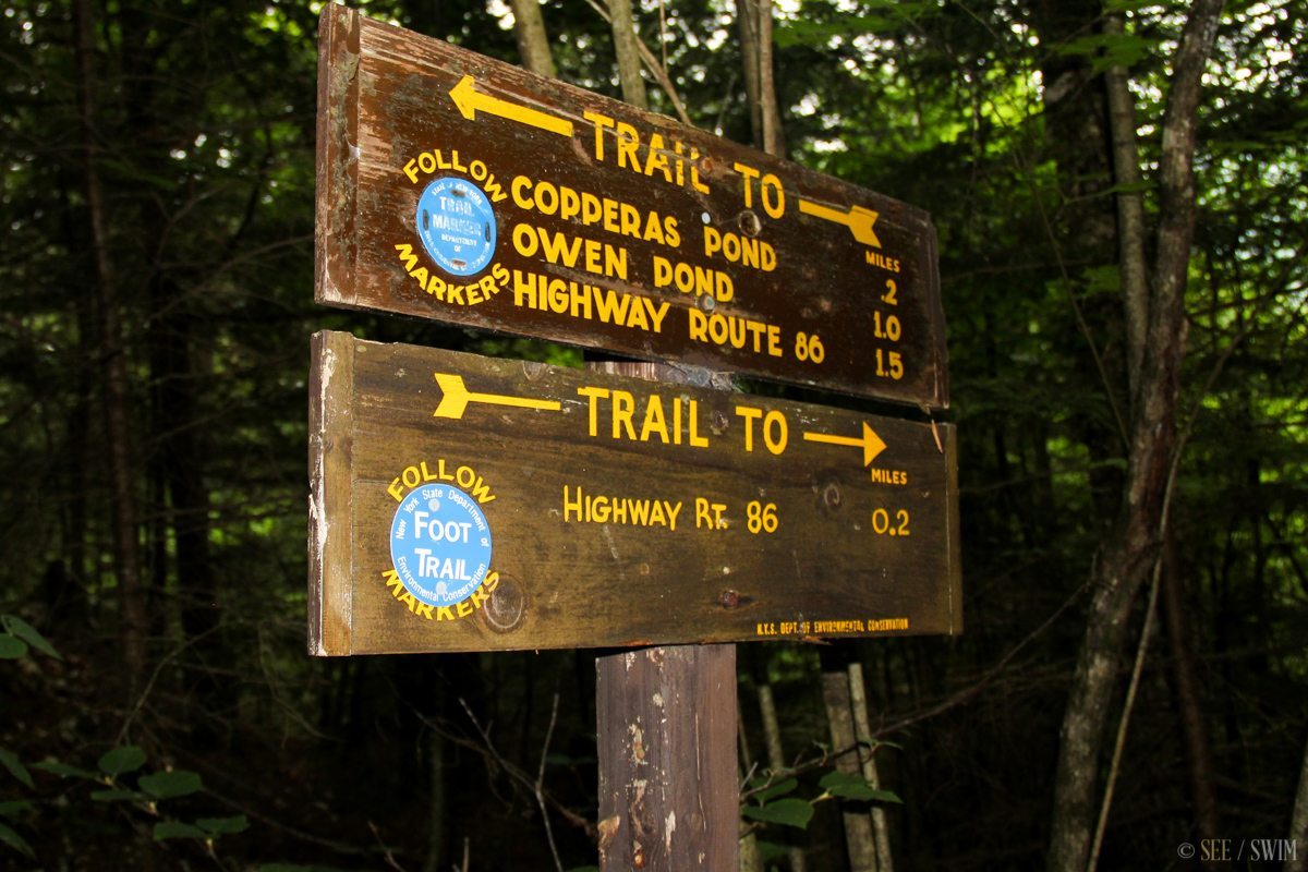
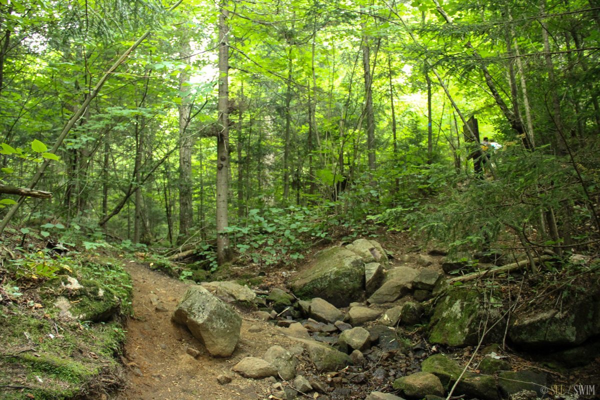
Off of Route 86, use the parking area marked “Copperas Pond.” From the parking lot, cross over 86 and follow the trail marked for Copperas Pond. This is only about a 1/2 mile hike, but it is steep, and there is a lot of scrambling over rocks and roots. It is on an incline all the way up for .3 miles, and then the trail turns to the right and where is a sign which we’ve included a picture of as it is very hard to spot. You want to take this right hand path and be following the blue markers all the way. Before this turn you are following a mostly dry stream bed though, so the turn can be easy to miss since you might be paying attention to your feet. The sign is also positioned to be much easier to see coming from the opposite direction, so if you notice that you’re leaving the rocky stream bed, look around and if you spot yellow trail markers you’ve gone too far.
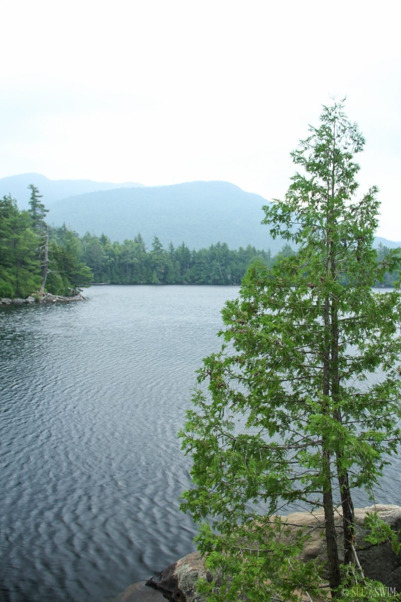
When you take the right you’ll go through some small ups and downs and then come out to where a sign says “lean to” and points right (you’ll see the pond in front of you at this point, so just follow the trail or the pond bank and you’ll come to a flat area with rock to swim off.
There was actualy a camera crew there with a group of young kids when we went, and we couldn’t get a lot of shots of this area. Seems like a nice pond and a fairly accessible hike. Even though it was steep we saw people of all abilities and fitness levels on it. So you might get winded, but then can relax and cool down in the water. Since the trail follows what looks to be a seasonal waterfall, use caustion if it has rained, as it could be quite slippery.
Location Details
- 20 min.
- +44.330757, -73.905423
- Moderate to Difficult


