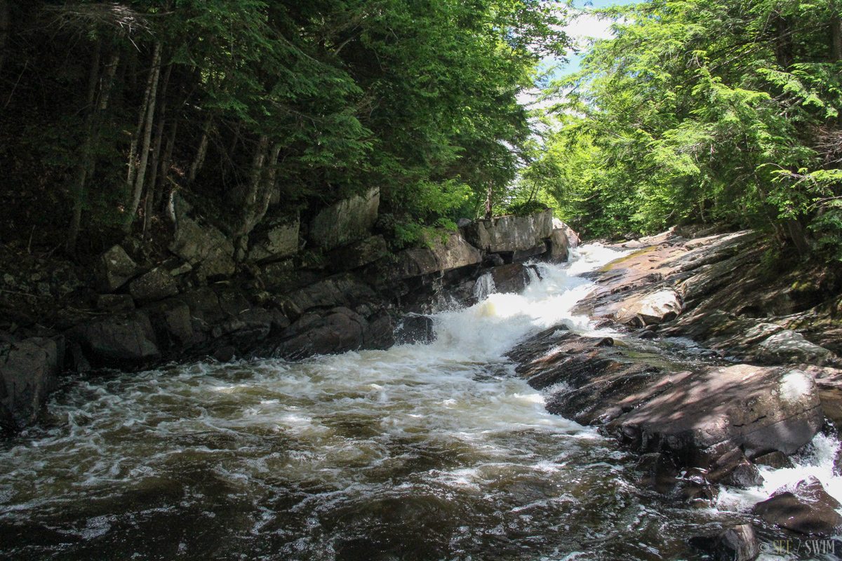


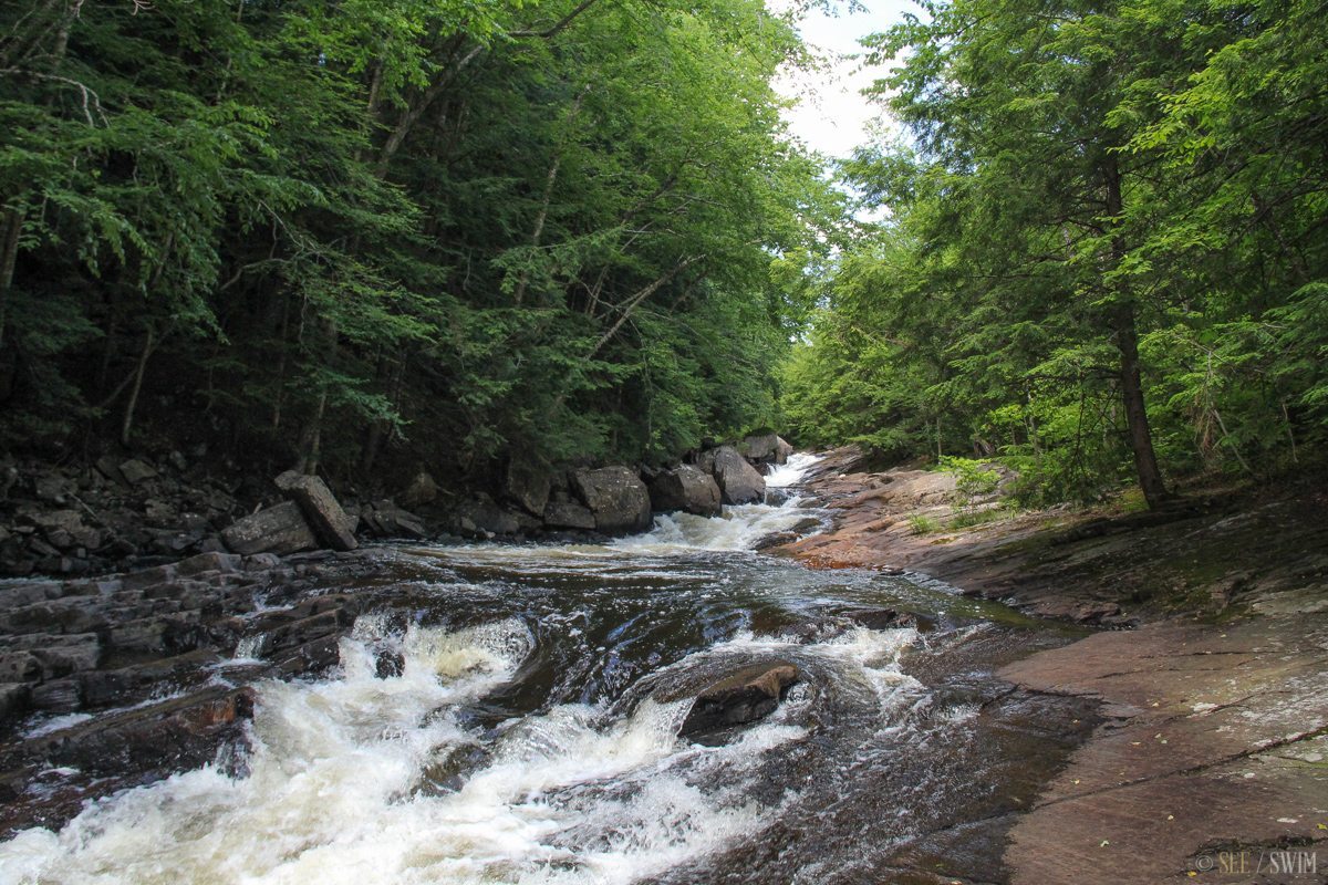
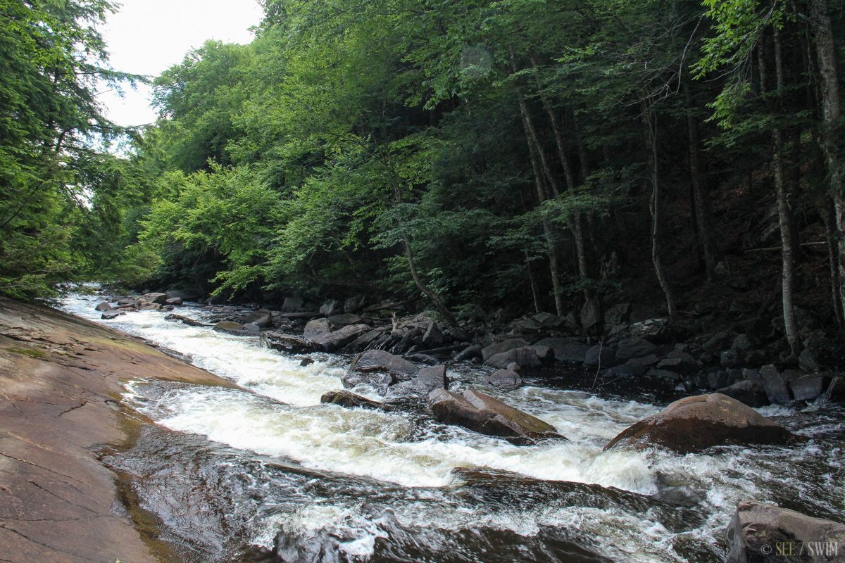
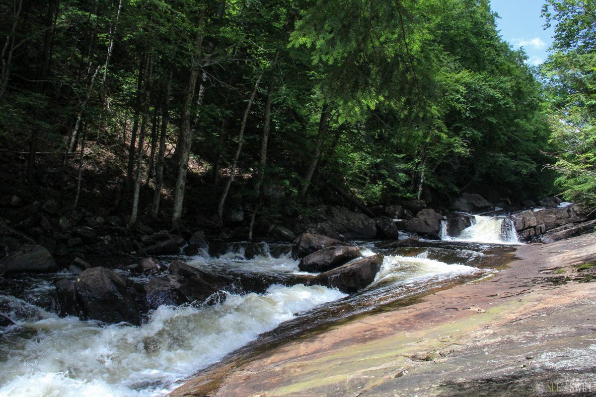
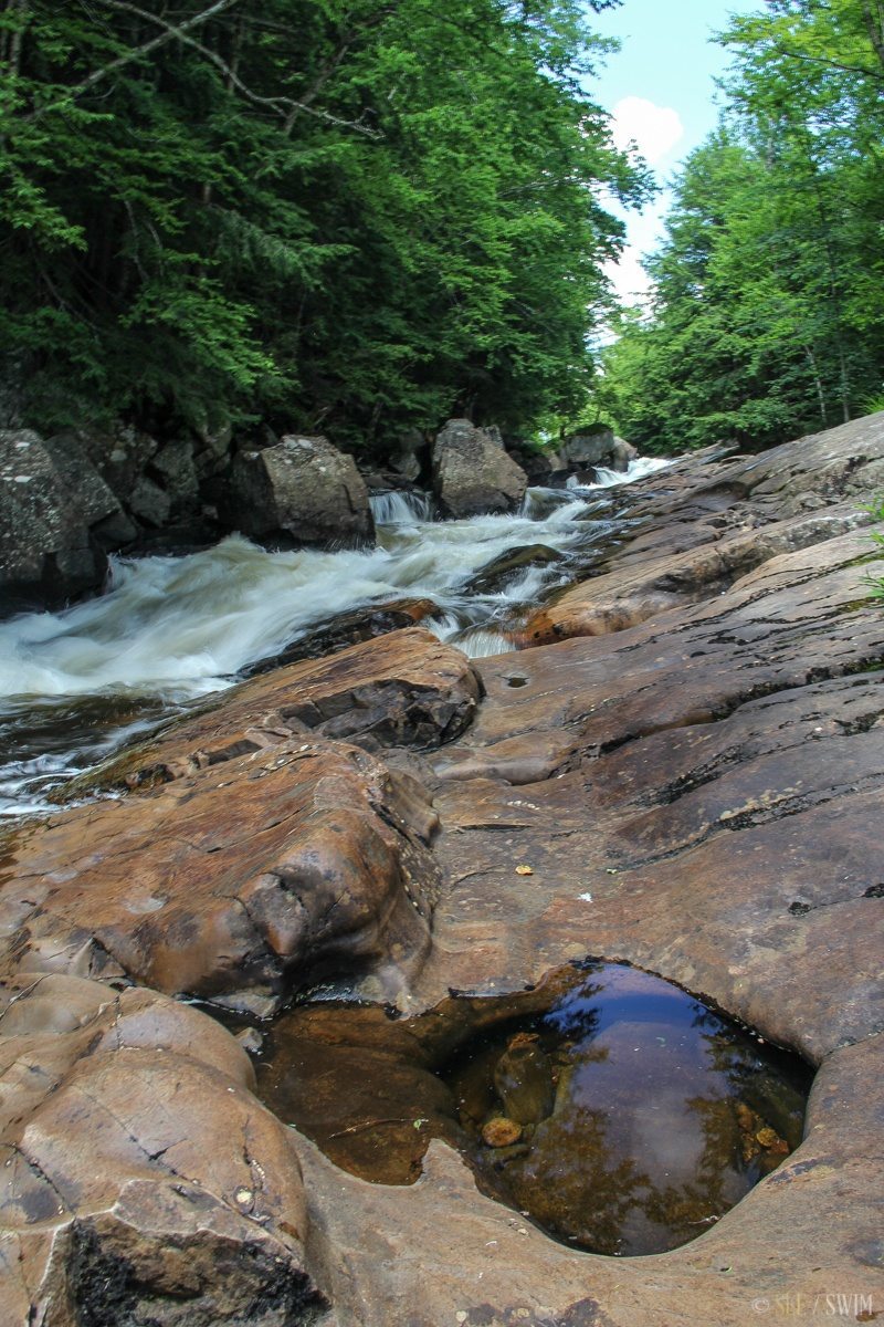
Austin Falls
This waterfall has turbulent water and a swift current, and we wouldn’t recommend swimming here after it rains.
The access to Austin Falls is on a back road off of Route 30. This road is called Old Route 8b/Old Route 30, and is in rough shape. As you can see from the map below, this road appears to connect to Route 30 in two places, however one end of the route ends in an old bridge that you can’t drive your car over. The entrance that you want to take is only marked by a sign that says “Snow Plow Turnaround.” From this entrance, you’ll be following the river on your right hand side, but the sides will be very steep. In about 2.8 miles, find a place to pull of an park. If you see a small road on your left you’ve gone just a little too far, so park and walk back. You’ll be able to hear the large fall, and the ground near the road levels off and you can walk down to the water easily. You can see the river from the road, so find whatever trail is easiest for you .
This is a pretty place to have a picnic, or take photographs.
Location Details
- 2 min.
- +43 29.994, -74 16.711
- Easy

Location Tags


