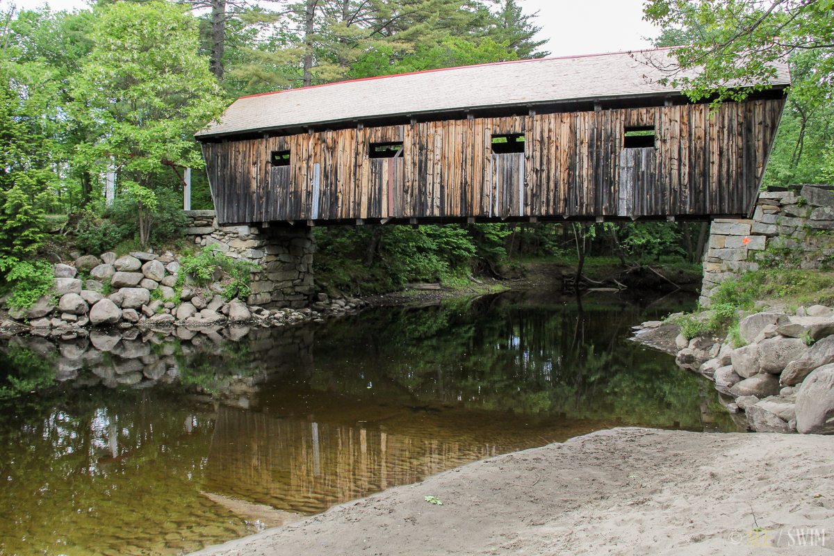

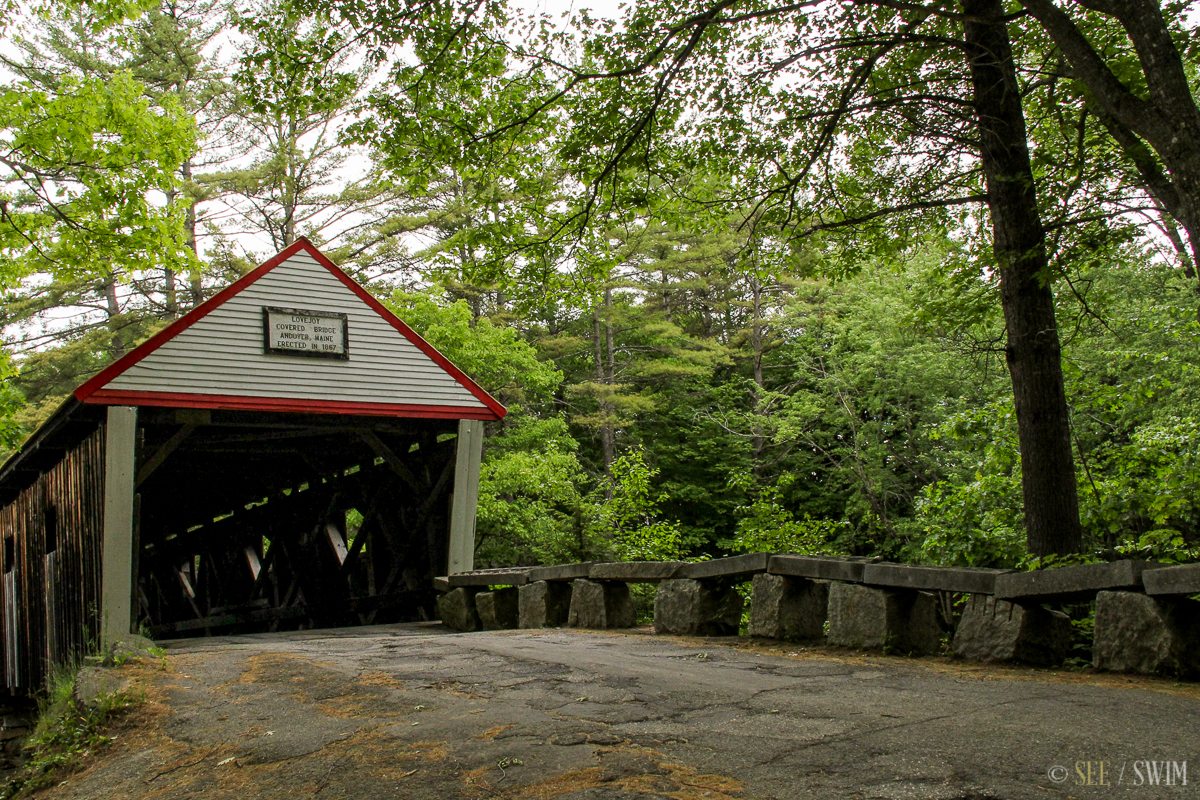
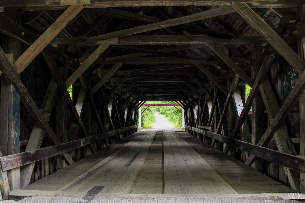
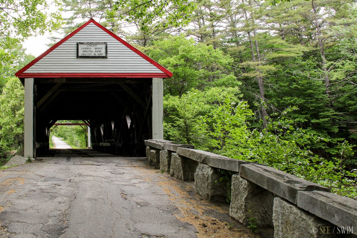
Andover Covered Bridge
This is also called “Lovejoy Bridge” on Google maps, and it is on Covered Bridge Road where it crosses the Ellis River.
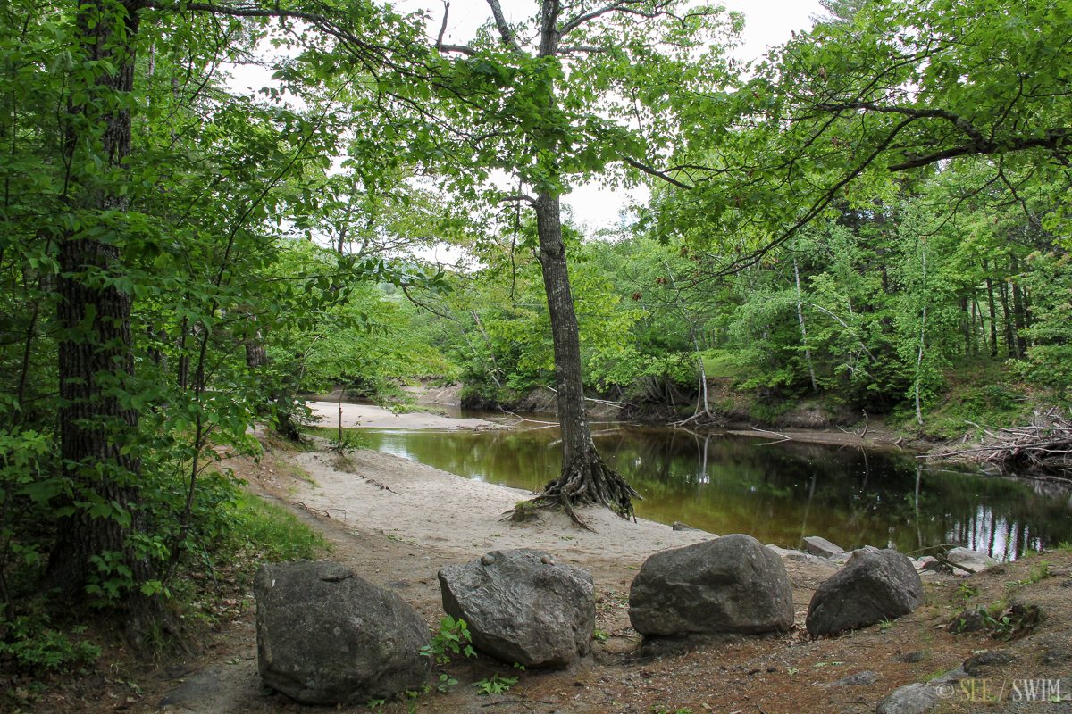
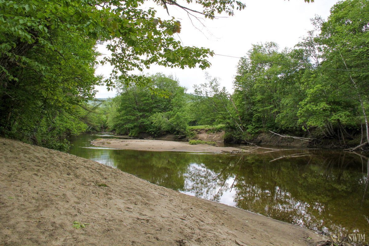
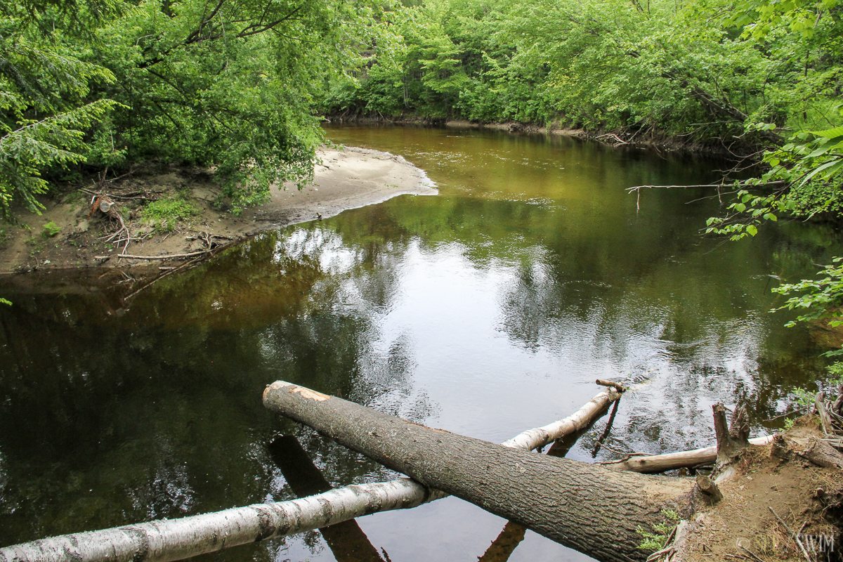
I was here on sort of a rainy day and the water level was fairly low, so I didn’t think it seemed very appealing, but if you look at this website it seems like this area can be much nicer when the conditions are better:
http://androscogginbloggin.blogspot.com/2010/07/late-afternoon-in-andover-maine.html
There is a dirt parking lot on one side of the bridge, and we didn’t see any signs prohibiting swimming.
Location Details
- 0 min.
- 44.593800, -70.733375
- Easy

Location Tags


